
Route:
- Lubenovac - Krajačev kuk (1659 m): 1 h 40'
- Krajačev kuk - Premužićeva staza - Crikvena (1641 m)
- Crikvena - Rossijeva koliba - Vratarski kuk (1676 m)
- Vratarski kuk - Lubenovac
Time needed: about 8 h effective (spent 12 h)
Starting point: Lubenovac
Ending point: Lubenovac
Altitude difference: 450 m max, visinski profil (s uključenom cestom Begovača-Lubenovac) je ovdje

Difficulty: medium difficult to difficult (it is long route on karst terrain, some climbing details - Crikvena and Vratarski kuk)
Tagline: 10th "Velebit" with the route similira to trip 10 years ago, but with additional two peaks: Krajačev Kuk and Vratarski Kuk.
Travel notes:
- Ruta...kružna tura s obilaskom tri lijepa kuka iznad 1600 m, i najljepšeg dijela Premužićeve staze i polaskom i dolaskom s Velikog Lubenovca, jedne od najljepših velebitskih livada. Cijela ruta je po kukovima skupine Rožanski kukovi, a unutar su Nacionalnog parka Sjeverni Velebit i Strogog prirodnog rezervata Hajdučki i Rožanski kukovi.
- Ruta je odabrana nakon upoznavanja s glasinama kako se markacije na Vratarski kuk brišu. To me je zaprepastilo, jer smatram (kao i kolege planinari iz društva) da treba ograničiti broj posjeta i ljudske aktivnosti, ali svakako dopustiti kontrolirane posjete u nacionalne parkove i rezervate, osim u područja sa staništima rijetkih biljaka ili životinja ili opasna područja. Istina, markacije su djelomično obrisane i izblijedjele, ali još vidljive te su planinari - entuzijasti ipak označili put hrpicama kamenja koje se uklapaju u krajolik, a pomažu pri orijentaciji. Put od Premužićeve staze vodi po grebenu, kroz makiju i relativno je težak te nije preporučljiv (IMHO) za masovne pohode, kakvi su mogući po Premužićevoj stazi.
- Prvi kuk - Krajačev je bio kačji mašalj, a drugi Crikvena, po glasanju djece najljepši (popeli su se bez pomoći odraslih (troje osmogodišnjaka), a treći - Vratarski, najviši, vrlo zanimljiv, ali ipak malo naporan.
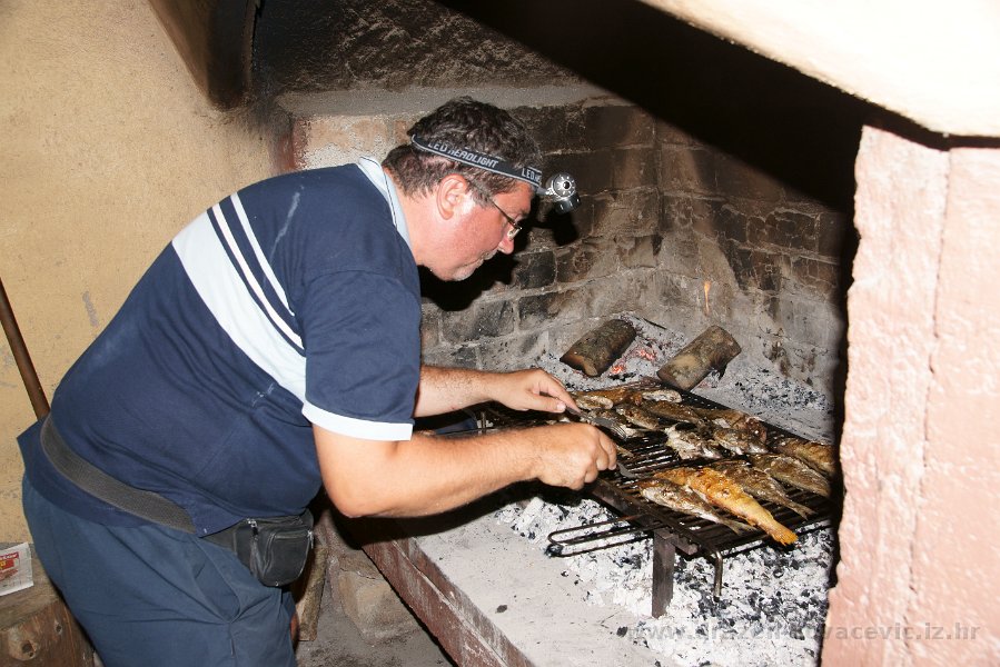
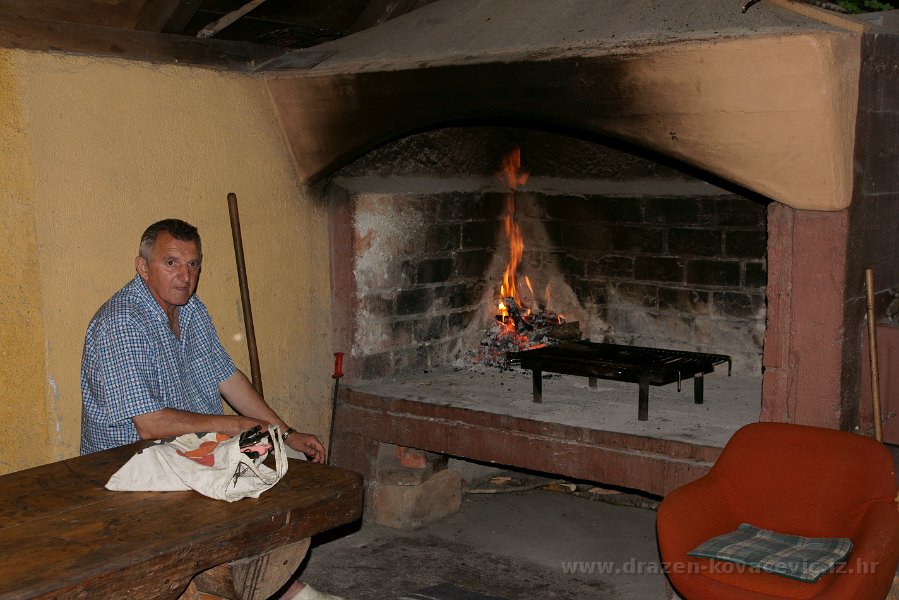
- Nakon ustaljenog jelovnika od ćevapa i čobanca s dosadašnjih Velbita, za promjenu pobrinuo se Nino sa svježom ribom s Visa koju je majstorski izgradelao. A drugi dan... za riblju večeru, veliku pastrvu, pobrinuo se izuzetno ljubazni domar Ante.
- Na dan izleta, cesta Begovača - Lubenovac nije do kraja bila popravljena, tako da smo nakon 3,5 km zaglavili u neuvaljanom sitnom kamenju, aute parkirali i nastavili pješke do Lubenovca.
{gallery}travels/velebit/north/velebit-2012_rozanski_kukovi-krajacev_kuk/slides{/gallery}
Photo-albums:
- Prizori oko Doma (by Dražen)
- Lubenovac - Krajačev kuk - Premužićeva staza, (by Dražen)
- Premužićeva staza - Crikvena - Lubenovac. (by Dražen)
The members of the group:
- Ljilja, Zdravko, Miljana, Robin, Nino, Anton (8 g.), Magda, Dunja, Vjeko, Andrija (8 g.), Martin, Ljerka, Damir, Renata, Željko, Dora (8 g) and Dražen - Ukupno: 17 duša
{gallery}travels/velebit/north/velebit-2012_rozanski_kukovi-begova_kuca/slides{/gallery}
Accommodation:
Maps and GPS data:
- Nacionalni park Sjeverni Velebit, Karta No 16a, M 1:30.000, SMAND d.o.o., Varaždin, 2005.
- Sjeverni Velebit, Karta No 16, M 1:30 000, SMAND d.o.o., Varaždin 1995.
- Topografska karta TK-25 Rab-4-2 (418-4-2), Državna Geodetska uprava, Zagreb
- Topografska karta TK-25 Rab-2-4 (418-2-4), Državna Geodetska uprava, Zagreb
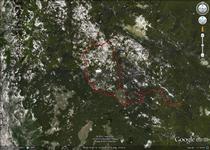 GPS tracksi (KML file) are here.
In order to view GPS tracks , click on the map icon:
References:
Rozanski kukovi by Velebit @ SummitPost
Popis planinarske literature nalazi se ovdje