

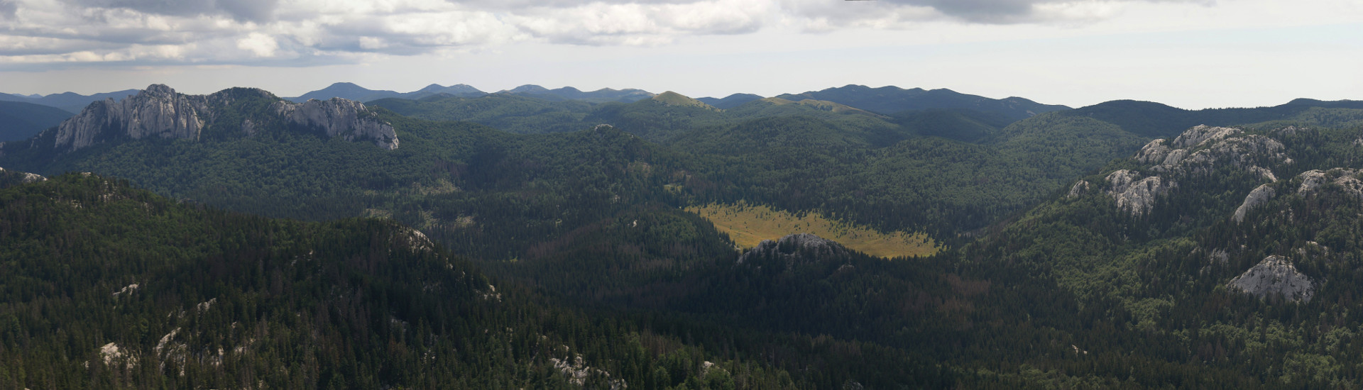
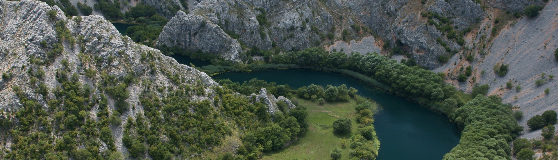
{gallery count=1 alignment=right width=240 height=240}travels/velebit/north/premuzic_trail_2015-12-12/medium/DSC03482-008.jpg{/gallery}
Ruta: Pl. dom Zavižan (1594 m) - Premužićeva staza - Rossijeva koliba - Pl. dom Zavižan
Polazna i odredišna točka - Pl. dom Zavižan (1594 m)
Vrijeme obilaska: 6 h
Opis: Tradicionalni 9. zimski uspon HPD-a Zrin na Zavižan. Dobro iskorišten nedostatak snijega i očišćena cesta za odlazak autom do Zavižana kako bi se stigla obići Premužićeva staza (dionica do Rossijeve kolibe).
{gallery count=1 width=150 height=150}travels/velebit/north/premuzic_trail_2015-12-12/medium/DSC03477-005.jpg{/gallery}
Učesnici:
- Lili, Sanja, Matea, Anica, Vlasta Ž, Ljilja, Fatima, Ivica, Igor, Saša G., Tomo, Neno, Saša J, Marijan, Vlado, Marko, Miloš, Goran, Dražen - 19 duša iz HPD-a Zrin
Zapisi s izleta:
{gallery count=1 alignment=right width=150 height=150}travels/velebit/north/premuzic_trail_2015-12-12/medium/DSC03488-009.jpg{/gallery}
Fotoalbum: Fotoalbum by Dražen
{gallery count=1 alignment=right width=150 height=150}travels/velebit/north/premuzic_trail_2015-12-12/medium/DSC03556-029.jpg{/gallery}
Zemljovidi i GPS podaci:
- Nacionalni park Sjeverni Velebit, Karta No 16a, M 1:30.000, SMAND d.o.o., Varaždin, 2005.
- Sjeverni Velebit, Karta No 16, M 1:30 000, SMAND d.o.o., Varaždin 1995.
- Topografska karta TK25 Rab-2-4 (418-2-4), M 1:25000, Državna geodetska uprava, Zagreb
- KML datoteka s GPS tragovima izleta
- Za prikaz GPS tragova s izleta u GoogleMaps
 aplikaciji kliknite na sličicu zemljovida;
{gallery count=1 width=150 height=150}travels/velebit/north/premuzic_trail_2015-12-12/medium/DSC03582-035.jpg{/gallery}
